See How New York Became a City in This New Digital Collection of Maps
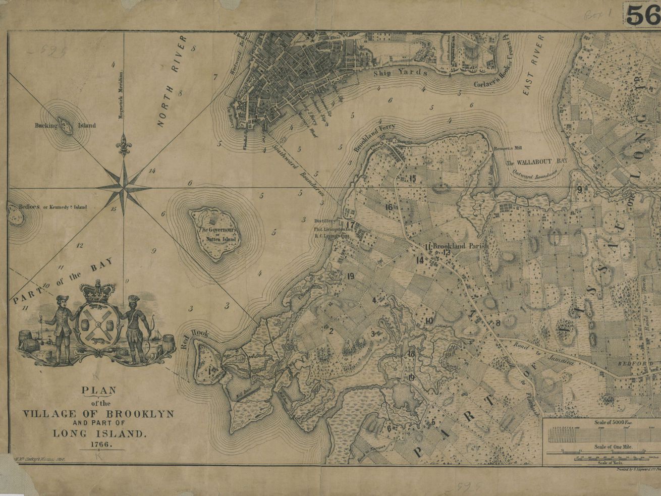
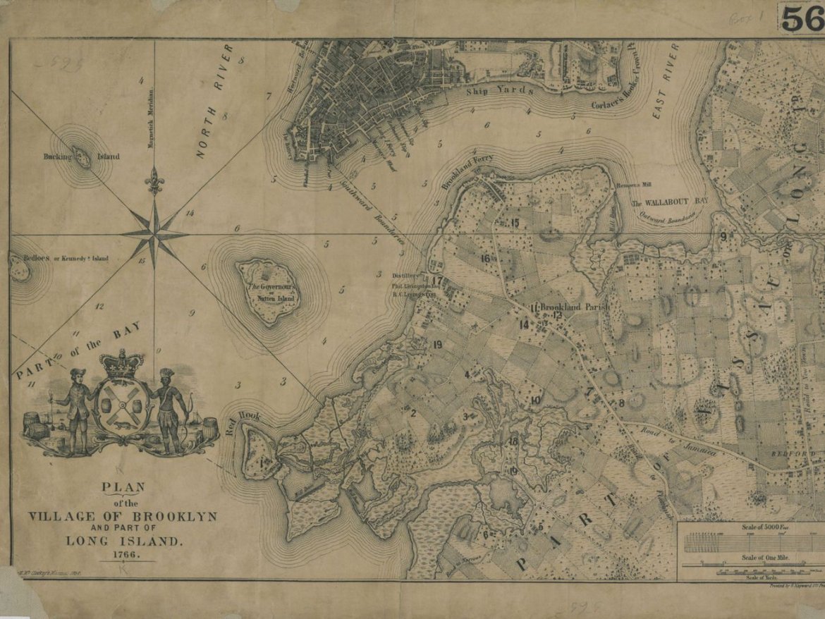
This 1864 copy of a 1766 map shows a “plan of the village of Brooklyn and part of Long Island.” | Courtesy of the Brooklyn Historical Society
What did your neighborhood look like in the 17th century? Now you can find out.
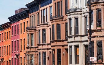
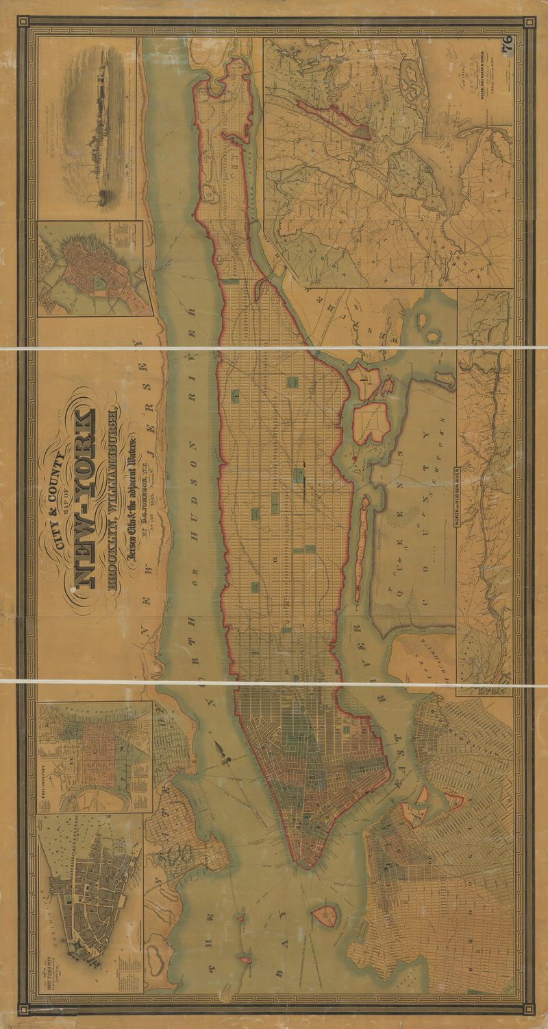
Back when Brooklyn was bucolic, marshes and farmland connected the scatter of 17th-century villages that today’s 2.6 million–person borough has grown from over the past four centuries. Now, that journey from agricultural to urban can be traced through a new collection of nearly 1,500 digitized maps by the Brooklyn Historical Society.
Modern residents can delve into 453 years of five-borough history and with a few keystrokes track the evolution of neighborhoods through old transit routes, development plans (some that came to fruition and others that didn’t), and hundreds of hand-drawn maps of rural hamlets turned prime real estate from 1562 to 2015. The overall effect is a visual compendium that unravels the growth and history of a modern metropolis.
 Courtesy of the Brooklyn Historical Society
“One of the stories that’s told most dramatically through these maps is the transition of Brooklyn from an agricultural region of villages to a very dense, populous borough,” says Maggie Schreiner, the historical society’s manager of archives and special collections. “That’s an exciting story not just to read about in a book, but through these maps, to actually see those changes to what the physical environment looked like.”
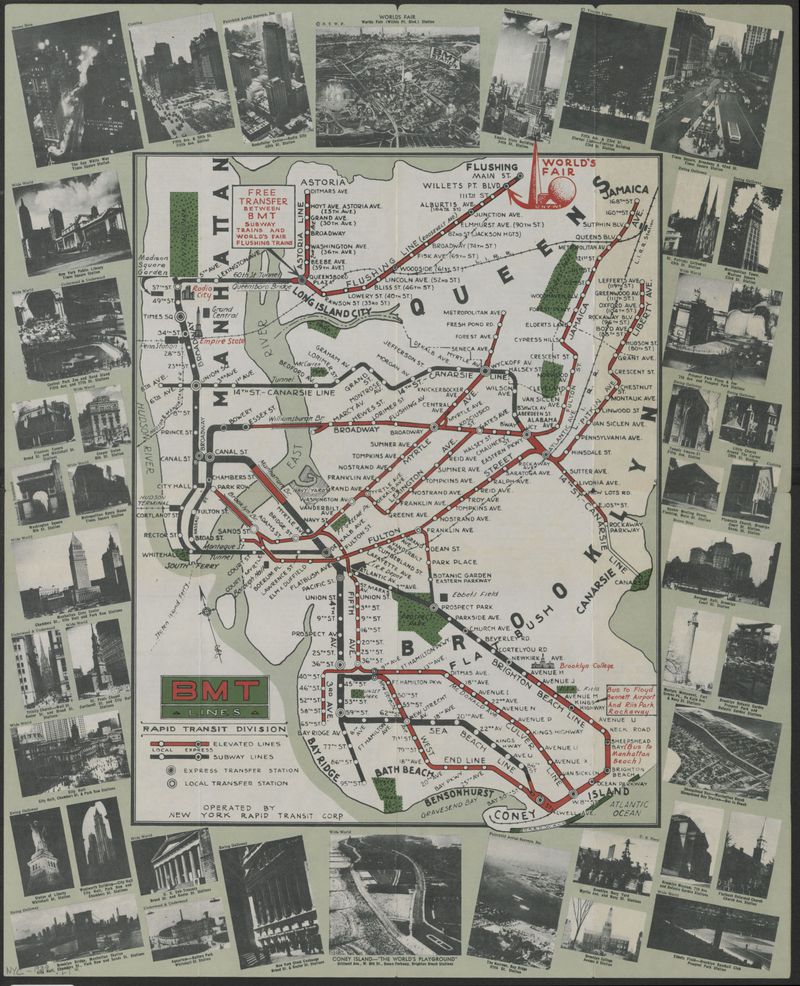
Plotting your way around the boroughs does more than show how streets have changed —the maps are a record of New York culture. For instance, there are pamphlets of exhibits you could peruse at the 1964 World’s Fair in Flushing, admission for which cost just $2 for “a panoramic tour of the past, present, and future of man.” Or a 1919 map charting subway lines you could take to Ebbets Field, the since-demolished Crown Heights baseball stadium where Jackie Robinson and the Brooklyn Dodgers played. Rare surveys of Brooklyn and Manhattan before the Revolutionary War also offer a look at the region under British rule.
The vivid collection makes for an approachable entry point into archival research. “Maps are beautiful and engaging primary sources, and even if you’re not a historian, it’s a really wonderful place to start diving in and learning about the past of your neighborhood or borough,” says Schreiner. “This will be a window into how fun and exciting it can be.”
A personal favorite of Schreiner’s are Frederick Law Olmsted and Calvert Vaux’s designs for Prospect Park — and, perhaps more notably, earlier iterations that didn’t make the cut. One map shows plans for a park that could have stretched Brooklyn’s backyard about a mile farther north into Prospect Heights and razed several blocks in the process.
 Courtesy of Brooklyn Historical Society
Marcia Ely, the historical society’s executive vice-president, recommends users search by neighborhood to uncover quirks in their own neck of the woods. But the collection isn’t just for history buffs; it’s part of the historical society’s ongoing efforts to bring its archive of roughly 5,000 artifacts online for scholars and researchers.
Examining the often large and fragile maps in person was previously a laborious task, and with the COVID-19 pandemic, now an impossibility. The digitized collection removes those barriers and literally puts nearly five centuries of historical documents at users’ fingertips.
The voluminous archive also includes topographical surveys, nautical charts, and political and cultural maps — some of which were damaged and had to be physically repaired — of the boroughs of New York, Long Island, New York State, and even pieces of New Jersey and elsewhere in the Northeast. More maps, according to Schreiner, will be added in the coming months, but New Yorkers have plenty of material to work with in the meantime.
“It’s [ultimately] a place for the curious,” she says. “Anyone can visit and take a journey.”
Love where you live
Be Heard at Go Home NY
Be heard! Leave your apartment, condo, and coop building reviews at Go Home NY! Know a building's managers are awful? Have the inside line on a perfect building? Anything in between? Express your voice and be heard. Leave a review at Go Home NY.