NYC is opening 12 more miles of open streets—from Fort Greene to Flushing

LightRocket via Getty Images
The city is halfway to its goal of 40 miles of streets for May
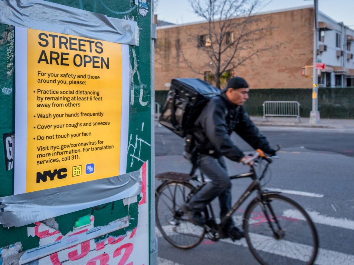
New York City will more than double its open streets footprint this week, banning traffic from a dozen more miles of streets to help New Yorkers spread out in the midst of the coronavirus pandemic.
Starting May 14, the city will open 7.6 miles of streets in the Bronx, Brooklyn, Manhattan and Queens, and 2.8 miles of streets adjacent to parks in Brooklyn, Manhattan, Queens and Staten Island, said de Blasio. Another 1.3 miles will also launch in Queens, Brooklyn, and Manhattan, in partnership with local Business Improvement Districts (BIDs), the mayor noted.
The latest batch of open streets also comes with 9.2 miles of protected bike lanes—all of which were already planned—in Manhattan, Brooklyn, and Queens, said the mayor. (Broadway, 38th Street, and 39th Street in Manhattan; Flatbush Avenue, Fourth Avenue, and Ashland Place in Brooklyn; and Crescent Street in Queens.) The first lane is slated to open Thursday along Broadway with the rest rolling out throughout May.
“This is important,” de Blasio said at his daily press briefing. “Many, many New Yorkers are choosing to use bicycles to get around more than ever as part of their everyday life.”
While the ramped up roll out of open streets and bike infrastructure is a step forward, bringing the mayor halfway to his goal of opening up 40 miles in May (out of the city’s more than 6,000 miles of road)—safe street advocates argue the city should first prioritize neighbors with a dearth of park space and meeting the needs of essential workers.
“I think the city really needs to think about essential workers and those who are still commuting versus those who are working from home,” says Doug Gordon, a safe streets advocate based in Brooklyn. “In addition to what they’re doing, they need to be asking: Who’s using this space? Who needs space that doesn’t have it, and how will that space be used? They really need to identify those neighborhoods that are starved for space.”
The open streets initiative was unveiled in late April, in partnership with the City Council, after transportation advocates and elected officials hounded the mayor to revisit the concept, after scuttling a car-free streets pilot only 11 days after its launch. The city announced the first seven miles of open streets in and near parks at the start of the month and an addition two miles of road overseen by BIDs a week later.
New York ultimately plans to close 100 miles of streets to cars in the coming months—a significant commitment from a mayor who only weeks earlier described New York as “just profoundly different than those other cities.”
Here are the newest open streets, some vary by time:
Brooklyn
- 4th Street from 4th Avenue to 5th Avenue
- Newkirk Avenue from Coney Island Avenue to E. 17th Street
- Grattan Street from Morgan Avenue to Bogart Street
- Prospect Place from New York Avenue to Brooklyn Avenue
- 6th Avenue from 44th Street to 51st Street
- 1st Place, 2nd Place, 3rd Place and 4th Place from Smith Street to Henry Street
- Berry Street from North 12th Street to Broadway
- Joralemon Street from Hicks Street to Furman Street
- St. Marks Place from 3rd Avenue to 4th Avenue
- E. 7th Street from Caton Avenue to Ditmas Avenue
- Hall Street from Park Avenue to Myrtle Avenue
- South Portland Avenue from S. Elliot Street to Dekalb Avenue
- Nassau Street from Banker Street to Lorimer Street
- Suydam Street from Knickerbocker Avenue to Irving Avenue
- Sharon Street from Morgan Avenue to Olive Street
- Leonard Street from Montrose Avenue to Boerum Street
- Cadman Plaza East from Johnson Street to Tillary Street
- 38th Street from Dahill Road to 15th Avenue
- Congrerssion Street from Clinton Street to Henry Street
Queens
- 46th Street from Queens Boulevard to Greenpoint Avenue
- Skillman Avenue from 39th Place to 43rd Street
- 39th Avenue from Woodside Avenue to Barnett Avenue
- 34th Avenue from 78th Street to Junction Boulevard
- 5th Street from 46th Avenue to 49th Avenue
- 27th Street from Hunter Street to Queens Plaza South
- Roosevelt Avenue from 155th Street to Northern Boulevard
- Peck Avenue from 137th Street to Main Street
Manhattan
- 115th from Park Avenue to 3rd Avenue
- 13th Street and Little W. 12th Street from 9th Avenue to Washington Street
- 17th Street from 10th Avenue to 8th Avenue
- Hudson Boulevard East and Hudson Boulevard West from 35th Street to 36th Street
- West End Avenue from 87th Street to 96th Street
- 75th Street from Broadway to Riverside Driver
- 114th Street from Manhattan Avenue to Frederick Douglass Boulevard
- Edgecombe Avenue from St. Nicholas Place to 145th Street
The Bronx
- W. 238th Street from Tibbett Avenue to Irwin Avenue
- 140th Street from Brook Avenue to Willis Avenue
- Rhinelander Avenue from Williamsbridge Road to Bronxdale Avenue
- Creston Avenue from Fordham Road to Kingsbridge Road
- Oak Tree Place from Hughes Avenue to Quarry Place
- Boston Road from 180th Street to Bronx Park South
- Bronx Park South from Boston Road to Bryant Avenue
- Jackson Avenue from 143rd Street to 147th Street
- Clay Avenue from 173rd Street to Claremont Parkway
Staten Island
- Bank Street in Staten Island east of Jersey Street
Love where you live
Be Heard at Go Home NY
Be heard! Leave your apartment, condo, and coop building reviews at Go Home NY! Know a building's managers are awful? Have the inside line on a perfect building? Anything in between? Express your voice and be heard. Leave a review at Go Home NY.